Contents
- 1 What is River Basin?
- 2 Main features of River Basin
- 3 Now lets talk about how Basin are formed
- 4 What is the course of River Ganga?
- 5 Now, lets further talk about the largest river basin in India- Ganga basin
- 6 Ganga Basin Coverage
- 7 Origin
- 8 Now, lets discuss some Ganga riverbank cities-
- 9 Ganga Basin- Rajaji National Park
- 10 What is National Ganga River Basin Authority (NGRBA)?
- 11 Conclusion
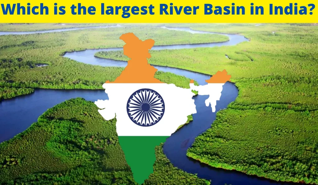
A lot of people remain confused about which is the largest river basin in India. They are unsure if it is the Brahmaputra, Ganges or Indus. However, when you look at a world map, it becomes clear that the Ganges is the largest river basin in India. This blog will help to answer the question of what is a river basin and which is the largest river basin in India.
Dear friends, before knowing the largest river basin in India we should first have a knowledge about what actually River basin is.
What is River Basin?
- A river basin is the portion of land drained by a river and its tributaries in order to reach the big river.
- At the river basins all the creeks, tributaries and several other small streams combine together and from here their journey to end in a main river starts.
- Generally river basins are the downhill areas.
- Amazon Basin in south America is the largest river basin.
Main features of River Basin
- Source- the start of a river.
- Watershed- an area of highland surrounding the river basin.
- Tributaries- smaller rivers flowing into a larger rivers.
- Confluence- where a river joins another river.
- Mouth- where a river meets a lake, the sea or a an ocean.
Now lets talk about how Basin are formed
Basically, when you look at a basin it is a depression or a dip in the earth surface. When you look at the shape it looks like a bowl and its sides are higher than the bottom. They are also in overland circular shape similar to a sink or a tub you have in your bathroom. Some basin are filled with water and some are empty. Some of them takes ages to form while some are formed overnight. A good example is Earthquake. Earthquake makes the ground shake due to which a landslide is triggered and that is how a basin is formed in a short span of time.
A river drainage basin is an area drained by a river and all of it’s tributaries. Heavy and continuous flow of water erodes land surface by picking up sand particles along the way causing land erosion. The area of the land that is eroded is lower compared to its surrounding. Basin usually take ages to form. The well known Amazon basin in Northern South America is the largest basin in the world.
In India we have Ganga river basin, Brahmaputra river basin, Krishna river basin, Mahanadi river basin, Narmada river basin etc. Even slow movement of glaciers forms basin. Glacier movement cut the land and create a depression as a result we will have an area of land which is below compared to its surrounding and that is also known as a basin.
What is the course of River Ganga?
- Ganga enters plains at Haridwar. From here it flows south and south east and is joined by Yamuna at Prayagraj.
- Reaches Bihar plains by flowing eastward, then takes SE after passing Rajmahal hills.
- After passing Farakka it bifurcates or distributes into two streams known as Bhagirathiw and Hugli(WB) and Padma and Meghana(Bramhaputra).
- Before entering Bay of Bengal it crosses major delta of the world, Sunderbans along with Bhramaputra.
- Left bank Tributaries- Ramganga, Gomti, Ghaghara, Gandak, Kosi, Mahananda, kali etc.
- Right bank tributaries-Yamuna, Son, Tamsa, Karmanasa, punpun, Kiul.
Now, lets further talk about the largest river basin in India- Ganga basin
So, now let’s get started with some basis feature of Ganga basin:
- A trans-boundary river(flows through India and Bangladesh).
- Origin: Gangotri Glacier, Uttarakhand
- Length: 2,525 km
- Third largest river in the world by discharge.
- Joins Yamuna at the Triveni Sangam in Allahabad.
- Forms the world’s largest delta,(59,000 sq.km)
Ganga Basin Coverage
It covers 4 countries:
- India
- Nepal
- China
- Bangladesh
In India it Covers 11 states:
- Himachal Pradesh
- Uttarakhand
- Delhi(Union Territory)
- Uttar Pradesh
- Madhya Pradesh
- Chhattisgarh
- Bihar
- Jharkhand
- Punjab
- Haryana
- Rajasthan
- West Bengal
Origin
- Bhagirathi rises at Gangotri Glacier.
- Bhagirathi and Alaknanda rivers confluence at Devprayag, and becomes Ganga.
- Ganges flow through Rishikesh and reaches Plains at Haridwar.
Now, lets discuss some Ganga riverbank cities-
1. Rishikesh
- “Yoga Capital of the world”
- ‘Gateway to Garhwal Himalayas’
- Famous for ayurvedic treatments.
- Rafting is a popular sports.
- First Ayush center was opened in 2015.
- The starting point of Char Dham pilgrimage.
2. Haridwar
- One of the holiest places to Hindus.
- Ganga enters plains here.
- Kumbha Mela is celebrated.
- Puranic name: Maya
- Mentioned by Huan Tsang (629 AD).
- Gurukul patashala started by Arya Samaj(1902).
- University of roorkee (IIT Roorkee1847).
- Rajaji National Park is also located in haridwar.
Ganga Basin- Rajaji National Park
- A tiger reserve.
- Located in Shivaliks
- Notable animals: Tiger, Leopard, Asiatic Elephants.
What is National Ganga River Basin Authority (NGRBA)?
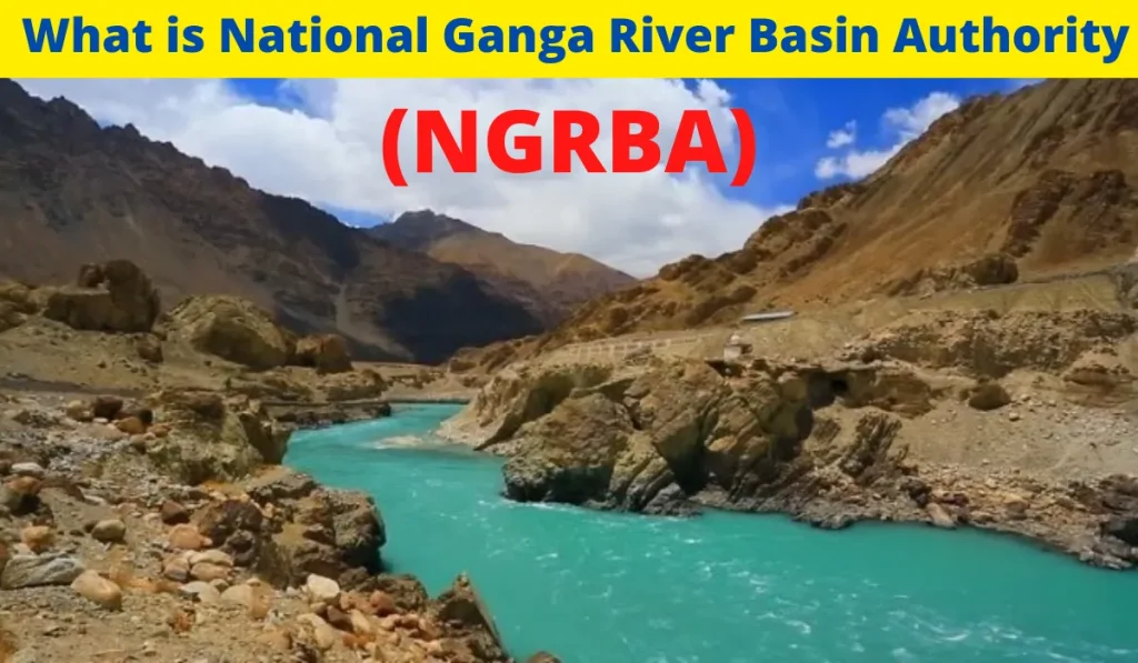
- National Ganga River Basin Authority (NGRBA) is a financing, planning, monitoring and coordinating activities related to the river ganga by adopting a holistic approach with the river basin as the unit of planning.
- NGRBA has twin objectives of:
- Ensuring effective abatement of pollution and conservation of the river Ganga.
- Ensuring water quality and environmentally sustainable development in the river Ganga.
- In July 2014, the NGRBA has been transferred from the MOEF to the ministry of water resources, river development and ganga rejuvenation, formerly ministry of water resources.
Conclusion
The Ganges River is the largest river basin in India and the third largest in the world. It is the longest, most voluminous, and most heavily populated river in the world. The six major sub- basins of the Ganges are the Indus River, the Brahmaputra River, the Jamuna River, the Karnali River, the Meghna River and the Padma River. The basin is located in the northern part of the Indian subcontinent and drains into the Bay of Bengal.
We hope you enjoyed our blog about the largest river basin in India. We included some interesting facts about the largest river basin in India and most importantly, we hope that it helped you. If you have any questions, we would love to hear from you. You can contact us anytime by visiting our website at EduKar. Thank you for reading!

?")


")